Lake Vostok team claims breakthrough
by Jonathan Amos. BBC News, February 8, 2012
Lake Vostok team claims breakthrough
( Also using a couple pieces of data from Katia Moskvitch’s article from January 27, 2011
http://www.bbc.co.uk/news/science-environment-12275979 )
In the 1990s, a very large (15,000 square kilometers) freshwater lake was discovered underneath the Russian station of Vostok in Antarctica. It is believed that Lake Vostok has been isolated for around 15 million years. If this is the case, it is likely that life has evolved differently there than other locations that have mixed with the rest of the world. Think of it as a very cold Galapagos Island, hidden under 4 kilometers of ice! Russian scientists, excited by these possibilities, have drilled a hole down to the surface of the lake, and have succeeded in extracting some of the water in order to study. The lessons learned from the process of extraction as well as the life-forms found in the water will help scientists to perform similar operations on the icy moons of our solar system in a search for alien life.
This article relates to the chapter: Thinking Geographically. Antarctica is one of the few places where humans do not live and work in a permanent manner. The possibility of finding forms of life that have been isolated for millions of years is quite exciting, and can only happen in a limited number of places on the Earth. We don’t have an immediately compelling reason to be working in Antarctica (or other planets!). We aren’t exploring Antarctica out of a need for new places to live, or new foods to eat, but because we are ultimately curious creatures, and are always looking for a new horizon, something that has never been seen before. In my opinion, this is the reason Possibilism is a truer theory than environmental determinism. Our thirst for exploration and virgin soil has led us to inhabit as well as adapt to an astonishing array of geographic locations. I chose this article because I’ve always been fascinated by the remoteness and mystery of Antarctica.
Is Malaria twice as deadly as we think it is?
by Alex Perry. Time, February 6, 2012
Is Malaria twice as deadly as we think it is?
The Institute for Health Metrics and Evaluation (IHME) at the University of Washington claims that Malaria kills almost twice as many people per year than previously believed. The origin of this mistake is the assumption that Malaria only kills those who are young, and therefore only the deaths of children under the age of five were documented. The IMHE, on the other hand, asserts that those who are over the age of five account for 45% of total Malaria deaths. The World Health Organization (WHO) disputes these claims and stands by their own figures. Examples are given of wildly differing claims by various governments and agencies for Malaria as well as HIV/AIDS. The author of the article concludes by making the point that especially when it comes to the Less Developed regions of the world, we don’t really know what’s going on.
This article relates to the chapter: Population. This article illustrates the problems associated with countries still in the earlier stages of development. They are relying on medication and aid from MDCs, but we do not have the human resources to oversee the distribution and determine the accurate effect they are having on those populations. These countries are still in the first and second stages of the Epidemiologic transition. Many citizens do not have access to clean water or proper nutrition, and those who do have access don’t always understand the importance of sanitation. The key to moving LDCs into the third and fourth stages (and keeping us out of the 5th!) is through education as well as financial and technological assistance.
I chose this article because I wanted to emphasize the difference between MDCs and LDCs. In the USA, we have accurate statistics of how people die, right down to how many people are killed by bee stings or the specific strains of the flu. With this information, we can fight against the most dangerous threats to our health and safety. In LDCs, death by Malaria may or may not be off by half a million people in a year, and no one can prove it either way. I hope that someday the LDCs of the world can progress through the stages (both demographic and epidemiologic) and come out the other end as happier, healthier and more aware societies.
America’s permanent dead zones
by Louis Ferleger. Salon, January 27, 2012.
America’s permanent dead zones
The economic collapse of four years ago is slowly turning around, and many communities are experiencing lowered unemployment and a better economy all around. This article focuses on those cities around the U.S. that are falling behind the national average, and have done so for years (even before the economy turned south). 216 cities and metropolitan areas are identified as ‘dead zones’, and have had lower employment rates than the rest of the country for 5, 10 or even 20 years. These zones are attributed to communities that relied on manufacturing, mining, fishing, the timber industry, or farming that is now performed mechanically. These communities have failed to create new industries to replace those that are no longer viable. Both the most prosperous and the least prosperous areas rely on single industries for their main employment. The difference? The industries of the prosperous communities have not yet run out of resources (timber and fishing), or been transferred to countries overseas. The article goes on to explain the education alone does not help people stuck in these communities to gain a job, because there are no jobs to be had. Even though these areas have been economically poor for up to 20 years, people are not emigrating to other, more prosperous areas. Government funds poured into these communities solve short term problems, but do little to alleviate the long term effects on communities that have lost their singular mode of economy.
This article relates to the chapter: Migration. What struck me was the observation that even though these towns have had little economic success in the last 20 years, people are not leaving. My first reaction was, ‘why?’ The article has a list of the cities in the U.S. that fall into each of these categories, and Roseburg, the city I live in, is listed under those cities that have had high unemployment for the last 20 years or more. Roseburg’s unemployment is 4 percentage points above the national average, yet the population has been growing at a pretty steady rate. We talked about unemployment as being a push factor, but in these cases, it’s not strong enough to compete with the pull factors keeping people in place.
I chose this article because it mentions my city! I’m planning on leaving this town and moving to a larger city. I have a job, but the general depression that surrounds everyone in the town as they struggle to stay afloat is a big enough push factor to encourage me to leave. I can imagine that for people who were born here, moving away would be a lot harder than for someone like me who has constantly moved to new cities throughout their life.
Simpson dolls banned in Iran as ‘promoters of western culture’
by Ramin Mostaghim. Los Angeles Times, February 6, 2012.
Simpson dolls banned in Iran as ‘promoters of western culture’
The Institute for the Intellectual Development of Children and Young Adults in Iran has placed Simpson dolls on its blacklist of toys that promote western culture. Most dolls that are of adults are banned in Iran. The exception are certain super-hero dolls, as they represent the heroic nature of fighting crime and helping the oppressed.
This article relates to the chapter: Folk and Popular Culture. Every country has anxieties that another culture is going to swoop in and change the way their own culture feels. This can be seen in Europe as it deals with the influx of Muslim immigrants, in parts of the U.S. and immigrants from Mexico or Asia, and in remote places like Tibet as it deals with a huge influx of Chinese immigrants. Iran has taken a unique route at controlling this concern, and blacklists anything it determines is a threat to the traditional Iranian culture. Does it work? Should countries be guarding so strongly their own cultures against the unstoppable wave of pop culture? I wish I had answers to these questions, which is why I picked this article. I am working on my Anthropology degree, and so preserving culture is something that I feel strongly about, but I don’t think culture should be preserved to the detriment of those whose culture is in question. I hope for a way that people can live as they want, and not be forced by their neighbors to follow the same culture as everyone else.
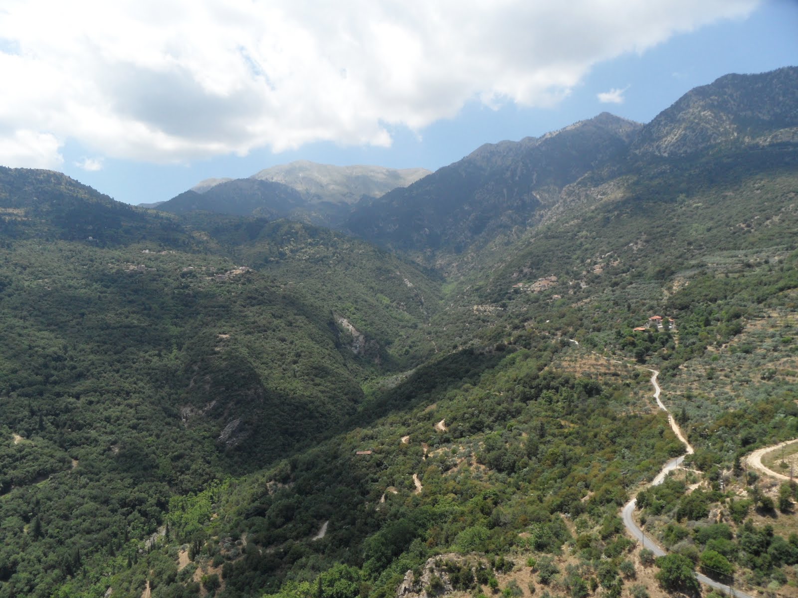
Is this Russian landscape the birthplace of Native Americans?
by Christine Dell’Amore. National Geographic, February 3, 2012.
Is this Russian landscape the birthplace of Native Americans?
A study of Native American as well as Russian DNA has led to the discovery of a genetic mutation that allows scientists to track down at least one set of ancestors for the Native Americans to a the Atlay region, a remote valley in south-eastern Russia (near the Russia, Mongolia, China border). The speculation that Native Americans migrated to the Americas from Siberia has been postulated for as long as Europeans have been exploring the New World. The physical as well as cultural similarities between these two populations are striking, but until DNA was discovered, there has been no way to prove that this was the case.
This article relates to the chapter: Migration. The peopling of two entire continents is a huge undertaking! Talk about migration! Of course, the people of the Americas did not come here all in one go, but through many migrations over the course of tens of thousands of years. I’m excited for future developments in the study of this ancient migration. I chose this article because the topic caught my eye and it’s another topic that has always fascinated me. The style of dress, house building, religion .. all of these cultural elements can be traced back to cultures in eastern Asia. This connection between people that have not mixed for thousands of years reminds me that in the end, we are all connected through greater and lesser distances through time.